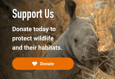

Protecting Wildlife Through Data-Informed Anti-Poaching Strategies
Partners: The Innovation For Conservation (ICON) Program, The University of Cumbria and Airbus Foundation
Key Species: African lion, Spotted hyena, Ugandan kob, Giraffe, Elephant
Key Ecosystems: Riparian forests, swamps, savannah, woodlands and scrublands
2025 Award Winner
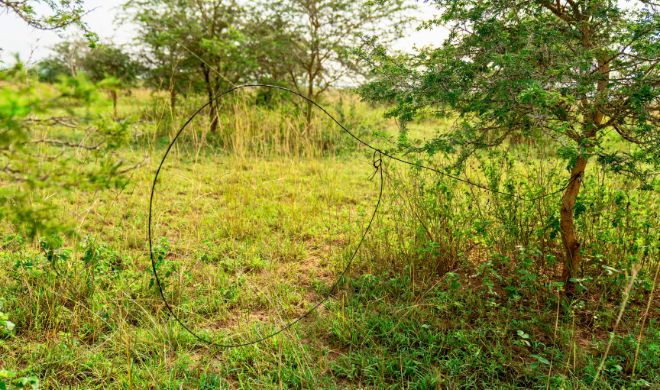
As Uganda’s largest national park, Murchison Falls is vital in conserving the country’s biodiversity. Yet across the park’s mosaic of savanna, woodland, wetland and riverine habitats, wildlife faces a persistent threat: thousands of wire snares. Tools of subsistence poachers, designed to catch passing animals.
The park is now considered one of the most heavily snared in the world, with an alarming density of up to 4.58 snares per square kilometre.
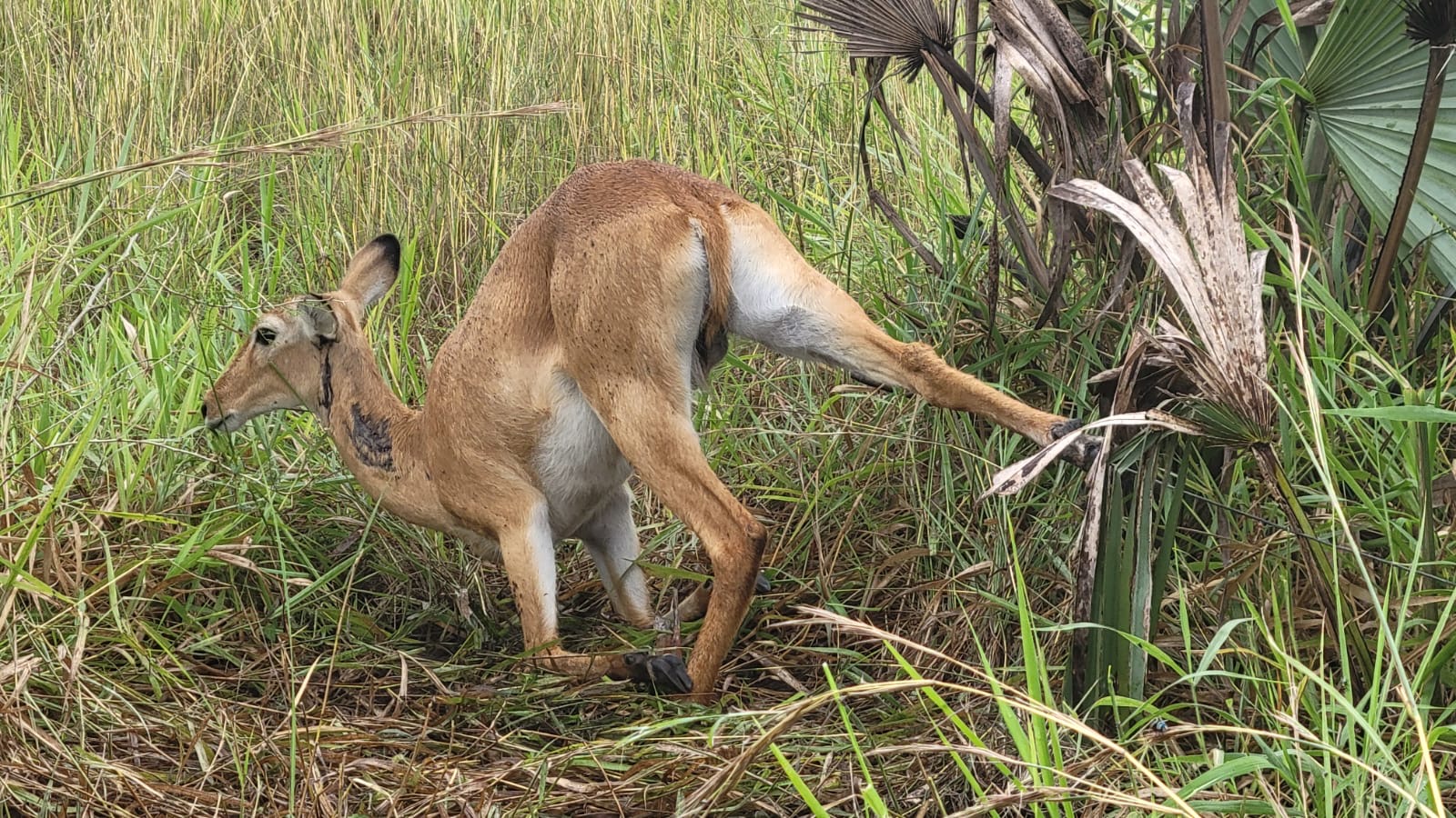
These snares, often set by individuals engaged in subsistence hunting, do not discriminate and pose a risk to a wide range of species. While typically intended to capture antelopes such as Ugandan kob or Cape buffalo, they frequently entangle non-target animals, including elephants, giraffes and apex predators such as lions and hyenas. Once caught, animals risk severe injury or death due to dehydration or starvation. The loss of these species can trigger a cascade of ecological effects, disrupting predator-prey dynamics and altering broader species interactions within the ecosystem.
Thinking like a poacher: a predictive model to shift the balance
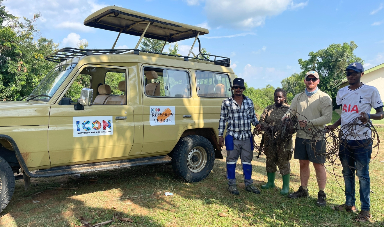
The placement of snares is constantly changing. Poachers shift their activity away from high enforcement areas while following wildlife movement across the park. This adaptability makes snaring a moving target, both spatially and temporally. Thousands of snares are removed each year by Uganda Wildlife Authority rangers, but new ones are constantly being set in different locations. So, how can conservationists stay ahead of those laying the traps?
With support from the Connected Conservation Foundation and donated high-resolution satellite imagery from the Airbus Foundation, The University of Cumbria and The Innovation For Conservation (ICON) Programme are developing cutting-edge predictive models on likely snare locations. Snares are often anchored to Borassus palms or dense acacia thickets - vegetation patterns now visible from space. By identifying the landscape features that influence where snares are likely to be set, such as concealment, access routes and wildlife movement, the model helps to pinpoint snaring hotspots. This highlights areas at greatest risk, allowing Uganda Wildlife Authority (UWA) rangers to focus their patrols with more precision.
Adaptive protection, using real-time data to guide patrols
By integrating real-time data into EarthRanger, the UWA’s spatial monitoring platform, ranger patrols can optimise their snare surveys and constantly update the integrity of the output. Via this adaptive modelling framework, anti-poaching tactics will be enhanced, wildlife fatalities will be reduced, and rangers will be empowered to act pre-emptively rather than reactively.
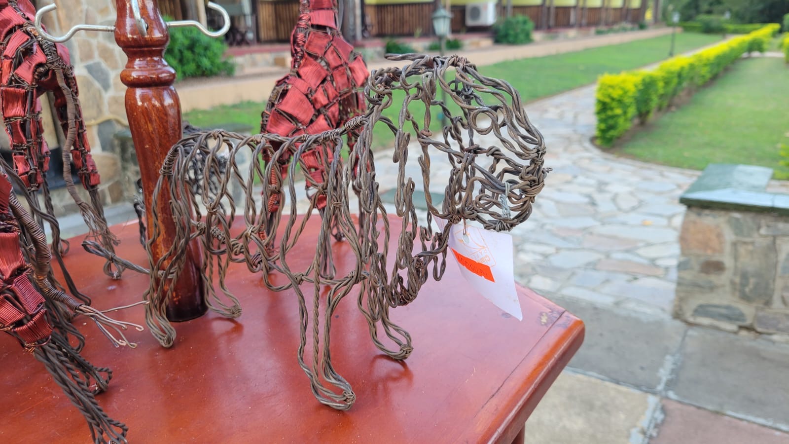
From snares to sculptures: a community transformed
Conservation isn’t just about removing snares, it’s about transforming lives. The Snares to Wares Initiative, launched in 2015, offers an alternative to those once reliant on poaching. Recovered snares are turned into detailed sculptures of lions, giraffes, elephants and more. Today, teams of artisans—many former poachers—craft and sell these pieces locally around Murchison Falls and through international commissions. The initiative repurposes confiscated wires and provides artisans with dignified, sustainable incomes, fostering a personal stake in conservation.